
Flovt Strand topographic map
Interactive map
Click on the map to display elevation.
About this map
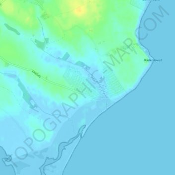
Name: Flovt Strand topographic map, elevation, terrain.
Average elevation: 3 m
Minimum elevation: -5 m
Maximum elevation: 22 m
Other topographic maps
Click on a map to view its topography, its elevation and its terrain.
Engelsholm Sø
Dänemark > Region Süddänemark > Jütland
Engelsholm Sø, Sødovervej, Jütland, Vejle Kommune, Region Süddänemark, 7182, Dänemark
Average elevation: 79 m