
Thank you for supporting this site ❤️
Make a donation
Make a donation
Malintang topographic map
Click on the map to display elevation.
Thank you for supporting this site ❤️
Make a donation
Make a donation
About this map
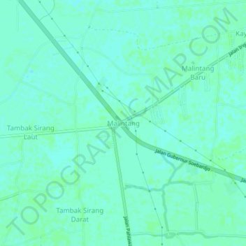
Name: Malintang topographic map, elevation, terrain.
Location: Malintang, Banjar, South Kalimantan, Kalimantan, Indonesia (-3.45012 114.61052 -3.41012 114.65052)
Average elevation: 4 m
Minimum elevation: 1 m
Maximum elevation: 6 m
Thank you for supporting this site ❤️
Make a donation
Make a donation
Other topographic maps
Click on a map to view its topography, its elevation and its terrain.