
Innerkrems topographic map
Interactive map
Click on the map to display elevation.
About this map
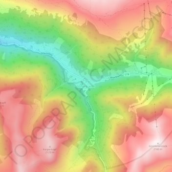
Name: Innerkrems topographic map, elevation, terrain.
Location: Innerkrems, Spittal an der Drau, Karinthië, Oostenrijk (46.94811 13.70638 46.98811 13.74638)
Average elevation: 1,811 m
Minimum elevation: 1,374 m
Maximum elevation: 2,161 m