
Thank you for supporting this site ❤️
Make a donation
Make a donation
Mount Salahutu topographic map
Click on the map to display elevation.
Thank you for supporting this site ❤️
Make a donation
Make a donation
About this map
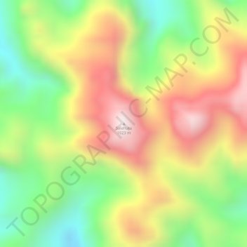
Name: Mount Salahutu topographic map, elevation, terrain.
Location: Mount Salahutu, Maluku Tengah, Maluku, Indonesia (-3.54573 128.25575 -3.54563 128.25585)
Average elevation: 695 m
Minimum elevation: 386 m
Maximum elevation: 993 m
Thank you for supporting this site ❤️
Make a donation
Make a donation
Other topographic maps
Click on a map to view its topography, its elevation and its terrain.