
Thank you for supporting this site ❤️
Make a donation
Make a donation
Den Dolder topographic map
Click on the map to display elevation.
Thank you for supporting this site ❤️
Make a donation
Make a donation
About this map
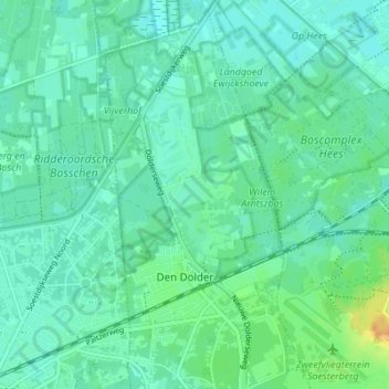
Name: Den Dolder topographic map, elevation, terrain.
Location: Den Dolder, Zeist, Utrecht, Netherlands (52.12913 5.22500 52.17125 5.25684)
Average elevation: 7 m
Minimum elevation: 0 m
Maximum elevation: 28 m
Thank you for supporting this site ❤️
Make a donation
Make a donation