
Pfaffenthal topographic map
Interactive map
Click on the map to display elevation.
About this map
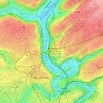
Name: Pfaffenthal topographic map, elevation, terrain.
Location: Pfaffenthal, Luxembourg, Canton Luxembourg, Luxembourg (49.61162 6.13038 49.62448 6.13951)
Average elevation: 300 m
Minimum elevation: 238 m
Maximum elevation: 352 m