
Batcha topographic map
Interactive map
Click on the map to display elevation.
About this map
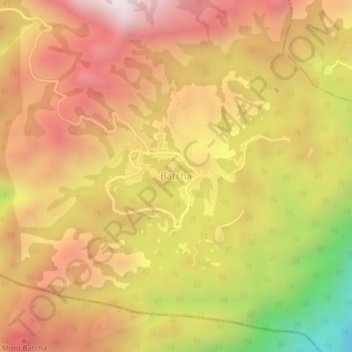
Name: Batcha topographic map, elevation, terrain.
Location: Batcha, Haut-Nkam, OU, Cameroun (5.08590 10.33084 5.12590 10.37084)
Average elevation: 1,407 m
Minimum elevation: 767 m
Maximum elevation: 1,837 m