
Thank you for supporting this site ❤️
Make a donation
Make a donation
Chirinos topographic map
Click on the map to display elevation.
Thank you for supporting this site ❤️
Make a donation
Make a donation
About this map
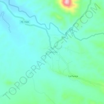
Name: Chirinos topographic map, elevation, terrain.
Location: Chirinos, Suyo, Ayabaca, Piura, Perú (-4.47391 -79.96728 -4.43391 -79.92728)
Average elevation: 477 m
Minimum elevation: 432 m
Maximum elevation: 672 m
Thank you for supporting this site ❤️
Make a donation
Make a donation
Other topographic maps
Click on a map to view its topography, its elevation and its terrain.
Thank you for supporting this site ❤️
Make a donation
Make a donation
Thank you for supporting this site ❤️
Make a donation
Make a donation