
Maxwell topographic map
Interactive map
Click on the map to display elevation.
About this map
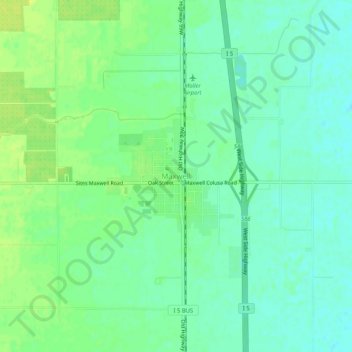
Name: Maxwell topographic map, elevation, terrain.
Location: Maxwell, Colusa County, Californie, États-Unis d'Amérique (39.25700 -122.21241 39.29700 -122.17241)
Average elevation: 27 m
Minimum elevation: 19 m
Maximum elevation: 36 m