
Los Pedros topographic map
Interactive map
Click on the map to display elevation.
About this map
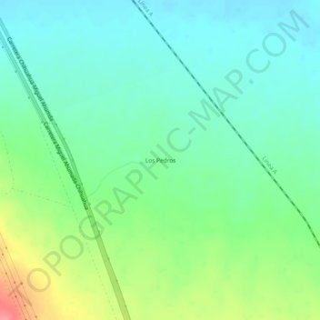
Name: Los Pedros topographic map, elevation, terrain.
Location: Los Pedros, Ahumada, Chihuahua, Mexiko (30.11720 -106.43227 30.15720 -106.39227)
Average elevation: 1,432 m
Minimum elevation: 1,408 m
Maximum elevation: 1,487 m