
Thank you for supporting this site ❤️
Make a donation
Make a donation
An Cường topographic map
Click on the map to display elevation.
Thank you for supporting this site ❤️
Make a donation
Make a donation
About this map
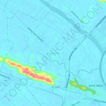
Name: An Cường topographic map, elevation, terrain.
Location: An Cường, Kinh Môn, Hải Dương Province, Vietnam (20.98324 106.51550 21.02324 106.55550)
Average elevation: 6 m
Minimum elevation: -1 m
Maximum elevation: 75 m
Thank you for supporting this site ❤️
Make a donation
Make a donation