
Former Chitrāl District topographic map
Interactive map
Click on the map to display elevation.
About this map
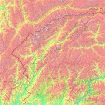
Name: Former Chitrāl District topographic map, elevation, terrain.
Location: Former Chitrāl District, Khyber Pakhtunkhwa, Pakistan (35.21630 71.19503 36.90879 73.88966)
Average elevation: 3,729 m
Minimum elevation: 841 m
Maximum elevation: 7,533 m
Chitral is connected to the rest of Pakistan by two major road routes, the Lowari Pass (el. 10,230 ft.) from Dir and Shandur Top (elevation 12,200 ft.) from Gilgit. Both routes used to be closed in winter, but circa 2017 the highway Lowari Tunnel under the Lowari Pass opened to vehicular traffic for at least ten hours per day. A number of other high passes, including Darkot Pass, Thoi Pass and Zagaran Pass, provide access on foot to Chitral from Gilgit-Baltistan.