
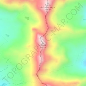
Le Boudry topographic map
Interactive map
Click on the map to display elevation.
About this map
Name: Le Boudry topographic map, elevation, terrain.
Location: Le Boudry, Oberems, Loèche, Valais, 3948, Suisse (46.19176 7.65958 46.19186 7.65968)
Average elevation: 2,709 m
Minimum elevation: 2,424 m
Maximum elevation: 3,065 m