
Muckle Flugga topographic map
Click on the map to display elevation.
About this map
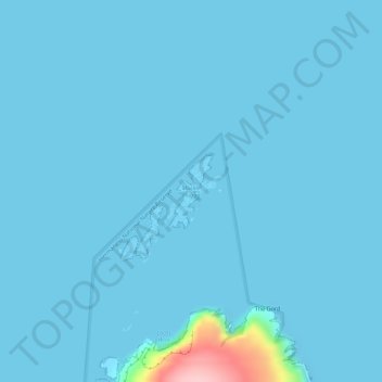
Name: Muckle Flugga topographic map, elevation, terrain.
Location: Muckle Flugga, Unst, Shetland, Scotland, United Kingdom (60.85132 -0.88975 60.85652 -0.88190)
Average elevation: 7 m
Minimum elevation: 0 m
Maximum elevation: 176 m
Other topographic maps
Click on a map to view its topography, its elevation and its terrain.
Ronas Hill
United Kingdom > Scotland > Shetland
Ronas Hill (or Rönies Hill) is a hill in Shetland, Scotland. It is classed as a Marilyn, and is the highest point in the Shetland Islands at an elevation of 450 m (1,480 ft). A Neolithic chambered cairn is located near the summit.
Average elevation: 298 m