
Thank you for supporting this site ❤️
Make a donation
Make a donation
Hugo topographic map
Click on the map to display elevation.
Thank you for supporting this site ❤️
Make a donation
Make a donation
About this map
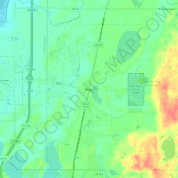
Name: Hugo topographic map, elevation, terrain.
Location: Hugo, Washington County, Minnesota, 55038, United States (45.11997 -93.03327 45.19997 -92.95327)
Average elevation: 285 m
Minimum elevation: 268 m
Maximum elevation: 320 m
Thank you for supporting this site ❤️
Make a donation
Make a donation