
Thank you for supporting this site ❤️
Make a donation
Make a donation
Montecastelli topographic map
Click on the map to display elevation.
Thank you for supporting this site ❤️
Make a donation
Make a donation
About this map
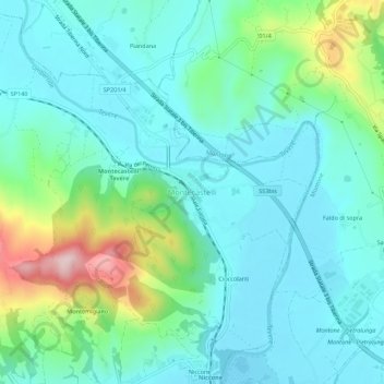
Name: Montecastelli topographic map, elevation, terrain.
Location: Montecastelli, Umbertide, Perugia, Umbria, 06019, Italia (43.31961 12.27531 43.35961 12.31531)
Average elevation: 308 m
Minimum elevation: 236 m
Maximum elevation: 558 m
Thank you for supporting this site ❤️
Make a donation
Make a donation