
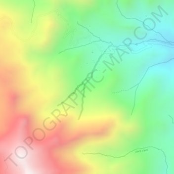
Cours d'eau topographic map
Interactive map
Click on the map to display elevation.
About this map
Name: Cours d'eau topographic map, elevation, terrain.
Location: Cours d'eau, Santo Tomás, Chumbivilcas, Cusco, Pérou (-14.74256 -72.07819 -14.73253 -72.07440)
Average elevation: 4,519 m
Minimum elevation: 4,186 m
Maximum elevation: 4,913 m