
那坡县 (Napo) topographic map
Interactive map
Click on the map to display elevation.
About this map
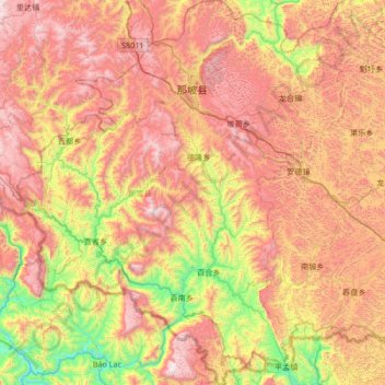
Name: 那坡县 (Napo) topographic map, elevation, terrain.
Location: 那坡县 (Napo), 百色市, Guangxi, China (22.91677 105.52397 23.53198 106.10598)
Average elevation: 899 m
Minimum elevation: 154 m
Maximum elevation: 1,658 m
Other topographic maps
Click on a map to view its topography, its elevation and its terrain.