
Skørping topographic map
Interactive map
Click on the map to display elevation.
About this map
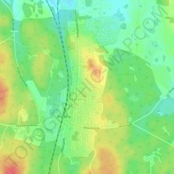
Name: Skørping topographic map, elevation, terrain.
Location: Skørping, Rebild Kommune, Region Nordjütland, Dänemark (56.82928 9.87236 56.85113 9.90412)
Average elevation: 61 m
Minimum elevation: 36 m
Maximum elevation: 94 m