
Thank you for supporting this site ❤️
Make a donation
Make a donation
Eva Valley topographic map
Click on the map to display elevation.
Thank you for supporting this site ❤️
Make a donation
Make a donation
About this map
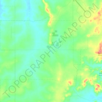
Name: Eva Valley topographic map, elevation, terrain.
Location: Eva Valley, Coomalie Shire, Northern Territory, Australia (-13.16228 130.95473 -13.10092 131.05918)
Average elevation: 97 m
Minimum elevation: 63 m
Maximum elevation: 180 m
Thank you for supporting this site ❤️
Make a donation
Make a donation
Other topographic maps
Click on a map to view its topography, its elevation and its terrain.