
Magsaysay topographic map
Click on the map to display elevation.
About this map
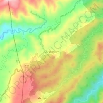
Name: Magsaysay topographic map, elevation, terrain.
Location: Magsaysay, Siniloan, Quezon, Calabarzon, Philippines (14.47927 121.50379 14.51927 121.54379)
Average elevation: 366 m
Minimum elevation: 218 m
Maximum elevation: 517 m