
Tapis topographic map
Interactive map
Click on the map to display elevation.
About this map
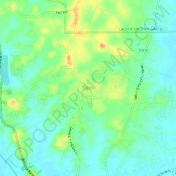
Name: Tapis topographic map, elevation, terrain.
Location: Tapis, Paser, Kalimantan oriental, 76251, Indonésie (-1.89683 116.17598 -1.85683 116.21598)
Average elevation: 16 m
Minimum elevation: 1 m
Maximum elevation: 42 m
Other topographic maps
Click on a map to view its topography, its elevation and its terrain.
Random
Indonésie > Kalimantan oriental > Paser
Random, Paser, Kalimantan oriental, Indonésie
Average elevation: 11 m