
Culao topographic map
Click on the map to display elevation.
About this map
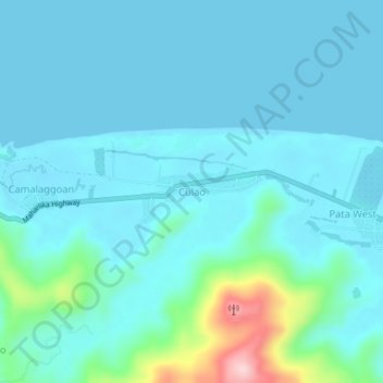
Name: Culao topographic map, elevation, terrain.
Location: Culao, Claveria, Cagayan, Cagayan Valley, 3519, Philippines (18.60185 121.09847 18.64185 121.13847)
Average elevation: 34 m
Minimum elevation: 0 m
Maximum elevation: 251 m
Other topographic maps
Click on a map to view its topography, its elevation and its terrain.