
Watou topographic map
Interactive map
Click on the map to display elevation.
About this map
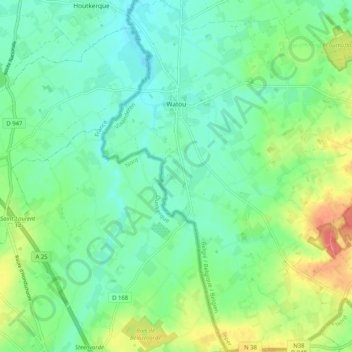
Name: Watou topographic map, elevation, terrain.
Location: Watou, Poperinge, Westflandern, Flandern, 8978, Belgien (50.81290 2.59863 50.87766 2.67783)
Average elevation: 27 m
Minimum elevation: 6 m
Maximum elevation: 65 m