
Thank you for supporting this site ❤️
Make a donation
Make a donation
Col d'Ares topographic map
Click on the map to display elevation.
Thank you for supporting this site ❤️
Make a donation
Make a donation
About this map
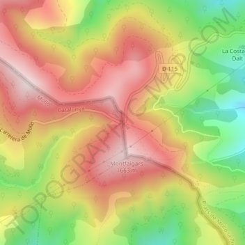
Name: Col d'Ares topographic map, elevation, terrain.
Location: Col d'Ares, Molló, Ripollès, Girona, Catalonia, Spain (42.36696 2.45625 42.36706 2.45635)
Average elevation: 1,388 m
Minimum elevation: 1,102 m
Maximum elevation: 1,614 m
Thank you for supporting this site ❤️
Make a donation
Make a donation