
Thank you for supporting this site ❤️
Make a donation
Make a donation
Mandvi Taluka topographic map
Click on the map to display elevation.
Thank you for supporting this site ❤️
Make a donation
Make a donation
About this map
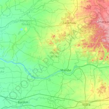
Name: Mandvi Taluka topographic map, elevation, terrain.
Location: Mandvi Taluka, Surat, Gujarat, India (21.19285 72.99870 21.44800 73.48358)
Average elevation: 73 m
Minimum elevation: 3 m
Maximum elevation: 289 m
Thank you for supporting this site ❤️
Make a donation
Make a donation
Other topographic maps
Click on a map to view its topography, its elevation and its terrain.