
Laurelty topographic map
Interactive map
Click on the map to display elevation.
About this map
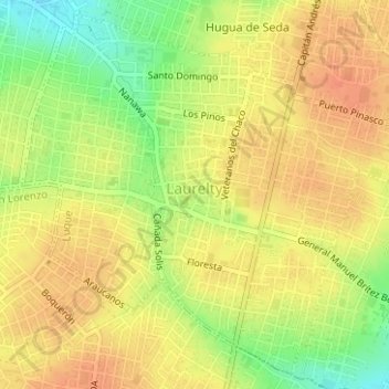
Name: Laurelty topographic map, elevation, terrain.
Location: Laurelty, Luque, Central, Región Oriental, Paraguay (-25.31020 -57.52266 -25.28400 -57.49137)
Average elevation: 134 m
Minimum elevation: 105 m
Maximum elevation: 150 m
Other topographic maps
Click on a map to view its topography, its elevation and its terrain.