
Thank you for supporting this site ❤️
Make a donation
Make a donation
Tejowangi topographic map
Click on the map to display elevation.
Thank you for supporting this site ❤️
Make a donation
Make a donation
About this map
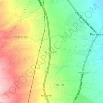
Name: Tejowangi topographic map, elevation, terrain.
Location: Tejowangi, Pasuruan, East Java, Java, Indonesia (-7.79827 112.70793 -7.75827 112.74793)
Average elevation: 334 m
Minimum elevation: 222 m
Maximum elevation: 475 m
Thank you for supporting this site ❤️
Make a donation
Make a donation
Other topographic maps
Click on a map to view its topography, its elevation and its terrain.