
Huaura topographic map
Interactive map
Click on the map to display elevation.
About this map
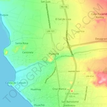
Name: Huaura topographic map, elevation, terrain.
Location: Huaura, Lima, 15138, Pérou (-11.11011 -77.63929 -11.03011 -77.55929)
Average elevation: 62 m
Minimum elevation: 0 m
Maximum elevation: 170 m