
Thank you for supporting this site ❤️
Make a donation
Make a donation
Kampung Pulai topographic map
Click on the map to display elevation.
Thank you for supporting this site ❤️
Make a donation
Make a donation
About this map
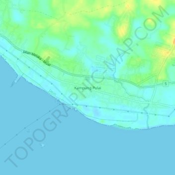
Name: Kampung Pulai topographic map, elevation, terrain.
Location: Kampung Pulai, Jasin District, Malacca, Malaysia (2.12208 102.34914 2.16208 102.38914)
Average elevation: 6 m
Minimum elevation: 0 m
Maximum elevation: 27 m
Thank you for supporting this site ❤️
Make a donation
Make a donation