
Thank you for supporting this site ❤️
Make a donation
Make a donation
Ouled Khaled topographic map
Click on the map to display elevation.
Thank you for supporting this site ❤️
Make a donation
Make a donation
About this map
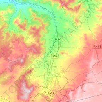
Name: Ouled Khaled topographic map, elevation, terrain.
Location: Ouled Khaled, Sidi Boubekeur District, Saïda, 20004, Algeria (34.81060 0.07402 35.03328 0.30549)
Average elevation: 851 m
Minimum elevation: 520 m
Maximum elevation: 1,200 m
Thank you for supporting this site ❤️
Make a donation
Make a donation