
Gonzales County topographic map
Click on the map to display elevation.
About this map
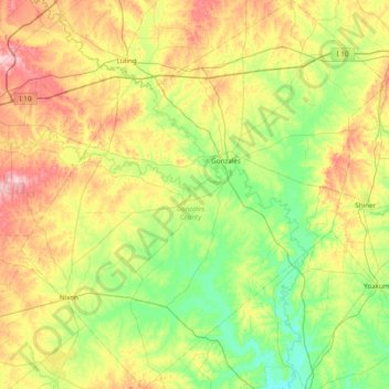
Name: Gonzales County topographic map, elevation, terrain.
Location: Gonzales County, Texas, United States (29.11038 -97.85877 29.78464 -97.13053)
Average elevation: 114 m
Minimum elevation: 51 m
Maximum elevation: 230 m