
Sankt Niklas an der Drau topographic map
Interactive map
Click on the map to display elevation.
About this map
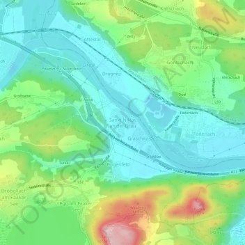
Name: Sankt Niklas an der Drau topographic map, elevation, terrain.
Location: Sankt Niklas an der Drau, Villach, Karinthië, 9580, Oostenrijk (46.57968 13.92353 46.61968 13.96353)
Average elevation: 546 m
Minimum elevation: 473 m
Maximum elevation: 716 m