
Bouzeghaia topographic map
Interactive map
Click on the map to display elevation.
About this map
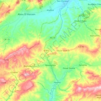
Name: Bouzeghaia topographic map, elevation, terrain.
Location: Bouzeghaia, Zeboudja District, Chlef, Algeria (36.29554 1.16405 36.42552 1.35006)
Average elevation: 311 m
Minimum elevation: 120 m
Maximum elevation: 630 m