
Thank you for supporting this site ❤️
Make a donation
Make a donation
Pisquid West topographic map
Click on the map to display elevation.
Thank you for supporting this site ❤️
Make a donation
Make a donation
About this map
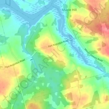
Name: Pisquid West topographic map, elevation, terrain.
Location: Pisquid West, Queens County, Prince Edward Island, Canada (46.31027 -62.90477 46.35261 -62.83916)
Average elevation: 28 m
Minimum elevation: -2 m
Maximum elevation: 78 m
Thank you for supporting this site ❤️
Make a donation
Make a donation