
Zizan topographic map
Interactive map
Click on the map to display elevation.
About this map
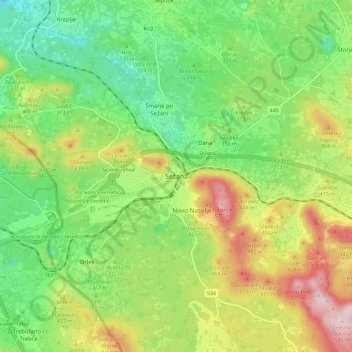
Name: Zizan topographic map, elevation, terrain.
Location: Zizan, Upravna enota Sežana, 6210, Slowenien (45.66918 13.83310 45.74918 13.91310)
Average elevation: 369 m
Minimum elevation: 233 m
Maximum elevation: 583 m
Other topographic maps
Click on a map to view its topography, its elevation and its terrain.