
Thank you for supporting this site ❤️
Make a donation
Make a donation
Collepardo topographic map
Click on the map to display elevation.
Thank you for supporting this site ❤️
Make a donation
Make a donation
About this map
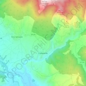
Name: Collepardo topographic map, elevation, terrain.
Location: Collepardo, Frosinone, Lazio, Italy (41.74599 13.35694 41.79865 13.44779)
Average elevation: 824 m
Minimum elevation: 337 m
Maximum elevation: 1,941 m
Thank you for supporting this site ❤️
Make a donation
Make a donation