
Kerlosquer topographic map
Interactive map
Click on the map to display elevation.
About this map
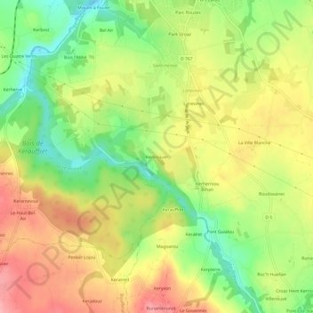
Name: Kerlosquer topographic map, elevation, terrain.
Average elevation: 128 m
Minimum elevation: 70 m
Maximum elevation: 184 m
Other topographic maps
Click on a map to view its topography, its elevation and its terrain.
Le Rest
France > Bretagne > Côtes-d'Armor > Ploumagoar
Le Rest, Ploumagoar, Guingamp, Côtes-d'Armor, Bretagne, France métropolitaine, 22970, France
Average elevation: 138 m