
Gillingham topographic map
Click on the map to display elevation.
About this map
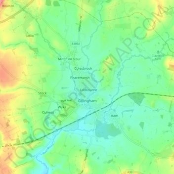
Name: Gillingham topographic map, elevation, terrain.
Location: Gillingham, Dorset, England, United Kingdom (51.01028 -2.33332 51.07708 -2.22871)
Average elevation: 93 m
Minimum elevation: 63 m
Maximum elevation: 156 m
Other topographic maps
Click on a map to view its topography, its elevation and its terrain.