
Thank you for supporting this site ❤️
Make a donation
Make a donation
Le Ruty topographic map
Click on the map to display elevation.
Thank you for supporting this site ❤️
Make a donation
Make a donation
About this map
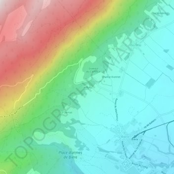
Name: Le Ruty topographic map, elevation, terrain.
Location: Le Ruty, Bière, District de Morges, Vaud, 1145, Suisse (46.52874 6.30106 46.56874 6.34106)
Average elevation: 912 m
Minimum elevation: 657 m
Maximum elevation: 1,490 m
Thank you for supporting this site ❤️
Make a donation
Make a donation