
Kheria topographic map
Click on the map to display elevation.
About this map
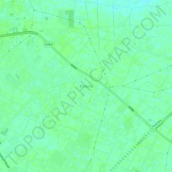
Name: Kheria topographic map, elevation, terrain.
Location: Kheria, Agra, Agra District, Uttar Pradesh, 282001, India (27.12620 78.05594 27.16620 78.09594)
Average elevation: 167 m
Minimum elevation: 162 m
Maximum elevation: 170 m