
Make a donation
Stakhólstjörn topographic map
Click on the map to display elevation.
Make a donation
About this map
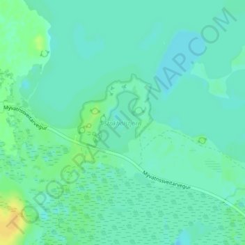
Name: Stakhólstjörn topographic map, elevation, terrain.
Average elevation: 280 m
Minimum elevation: 274 m
Maximum elevation: 295 m
Make a donation
Other topographic maps
Click on a map to view its topography, its elevation and its terrain.
Reykjahlíð
Reykjahlíð (Icelandic pronunciation: [ˈreiːcaˌl̥iːθ]) is a village situated on the shores of Lake Mývatn in the north of Iceland. It is the seat of the municipality of Þingeyjarsveit. It has 227 inhabitants as of 2021. With an elevation of 292 meters above sea level it ranks as the highest situated…
Average elevation: 305 m
Make a donation
Make a donation
Make a donation
Make a donation