
Tepuy topographic map
Interactive map
Click on the map to display elevation.
About this map
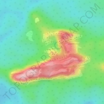
Name: Tepuy topographic map, elevation, terrain.
Location: Tepuy, Vaupés, Colombie (0.60399 -71.14288 0.60409 -71.14278)
Average elevation: 301 m
Minimum elevation: 204 m
Maximum elevation: 484 m
Other topographic maps
Click on a map to view its topography, its elevation and its terrain.