
Thank you for supporting this site ❤️
Make a donation
Make a donation
Villa del Río topographic map
Click on the map to display elevation.
Thank you for supporting this site ❤️
Make a donation
Make a donation
About this map
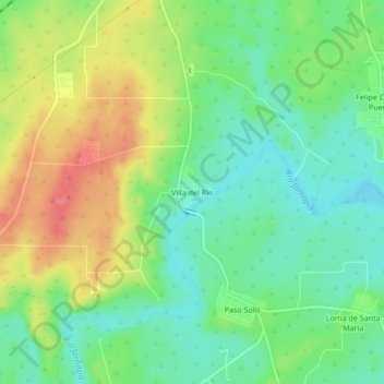
Name: Villa del Río topographic map, elevation, terrain.
Location: Villa del Río, Manlio Fabio Altamirano, Veracruz, Mexico (19.04500 -96.34778 19.08500 -96.30778)
Average elevation: 45 m
Minimum elevation: 17 m
Maximum elevation: 86 m
Thank you for supporting this site ❤️
Make a donation
Make a donation