
Thank you for supporting this site ❤️
Make a donation
Make a donation
Las Iguanas topographic map
Click on the map to display elevation.
Thank you for supporting this site ❤️
Make a donation
Make a donation
About this map
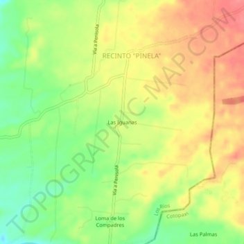
Name: Las Iguanas topographic map, elevation, terrain.
Location: Las Iguanas, RECINTO "PINELA", Valencia, Los Ríos, Ecuador (-0.92245 -79.32232 -0.88245 -79.28232)
Average elevation: 159 m
Minimum elevation: 118 m
Maximum elevation: 194 m
Thank you for supporting this site ❤️
Make a donation
Make a donation