
Vodnjan topographic map
Interactive map
Click on the map to display elevation.
About this map
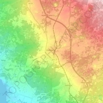
Name: Vodnjan topographic map, elevation, terrain.
Location: Vodnjan, Grad Vodnjan, Istarska županija, 52215, Kroatië (44.91896 13.81134 44.99896 13.89134)
Average elevation: 113 m
Minimum elevation: -1 m
Maximum elevation: 235 m