
Oulad Hassoun topographic map
Interactive map
Click on the map to display elevation.
About this map
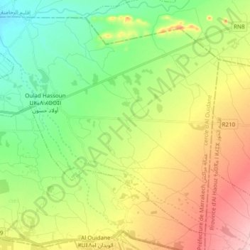
Name: Oulad Hassoun topographic map, elevation, terrain.
Average elevation: 505 m
Minimum elevation: 438 m
Maximum elevation: 606 m
Other topographic maps
Click on a map to view its topography, its elevation and its terrain.
Agafay
Maroc > Préfecture de Marrakech
Agafay, caïdat de Agafay, cercle d' Loudaya, Préfecture de Marrakech, Marrakech-Safi, Maroc
Average elevation: 569 m