
Pulborough topographic map
Click on the map to display elevation.
About this map
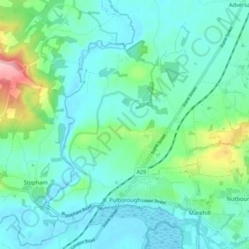
Name: Pulborough topographic map, elevation, terrain.
Location: Pulborough, Horsham, West Sussex, England, United Kingdom (50.94722 -0.53537 50.99920 -0.45697)
Average elevation: 29 m
Minimum elevation: -3 m
Maximum elevation: 145 m