
Dikkele topographic map
Interactive map
Click on the map to display elevation.
About this map
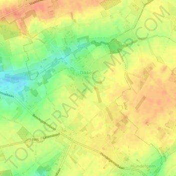
Name: Dikkele topographic map, elevation, terrain.
Location: Dikkele, Zwalm, Oudenaarde, Ostflandern, Flandern, Belgien (50.89409 3.72912 50.90816 3.75229)
Average elevation: 48 m
Minimum elevation: 23 m
Maximum elevation: 63 m
Other topographic maps
Click on a map to view its topography, its elevation and its terrain.