
Gibson Island topographic map
Interactive map
Click on the map to display elevation.
About this map
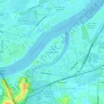
Name: Gibson Island topographic map, elevation, terrain.
Location: Gibson Island, Queensland, 4174, Australia (-27.45657 153.10300 -27.41657 153.14300)
Average elevation: 5 m
Minimum elevation: -2 m
Maximum elevation: 29 m